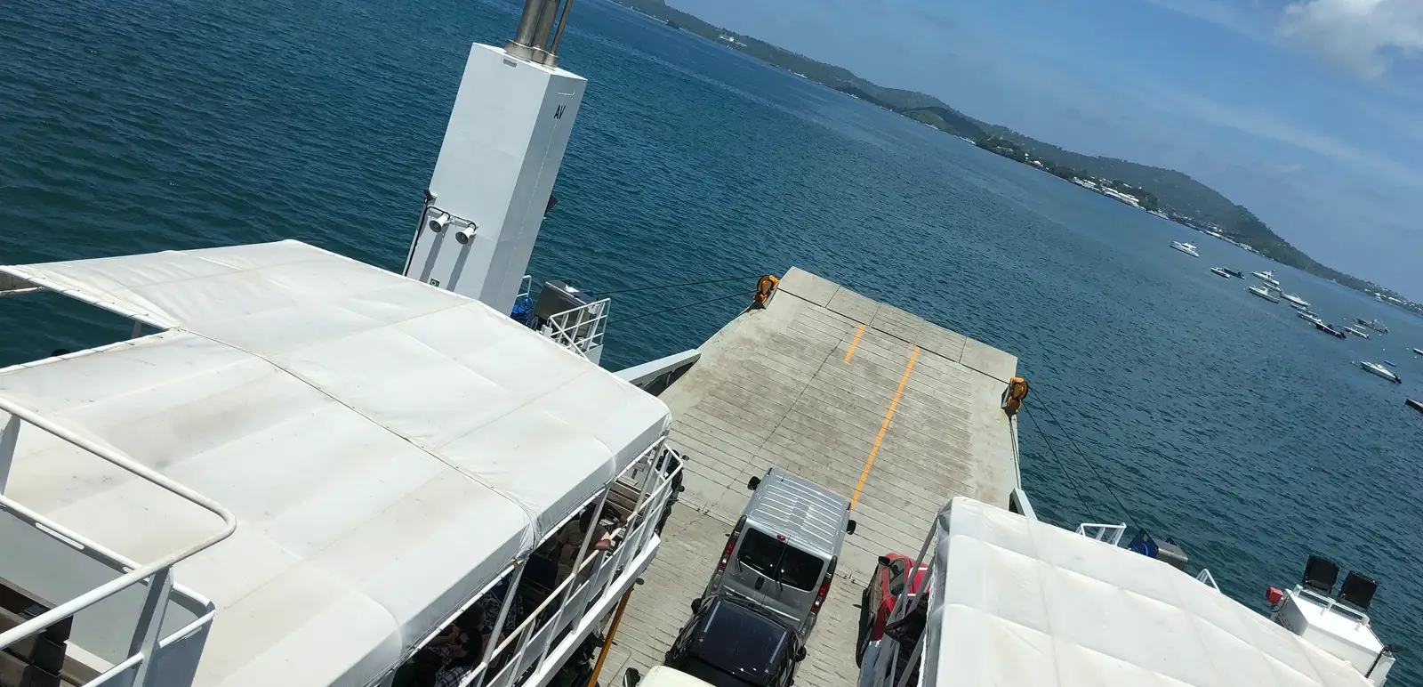
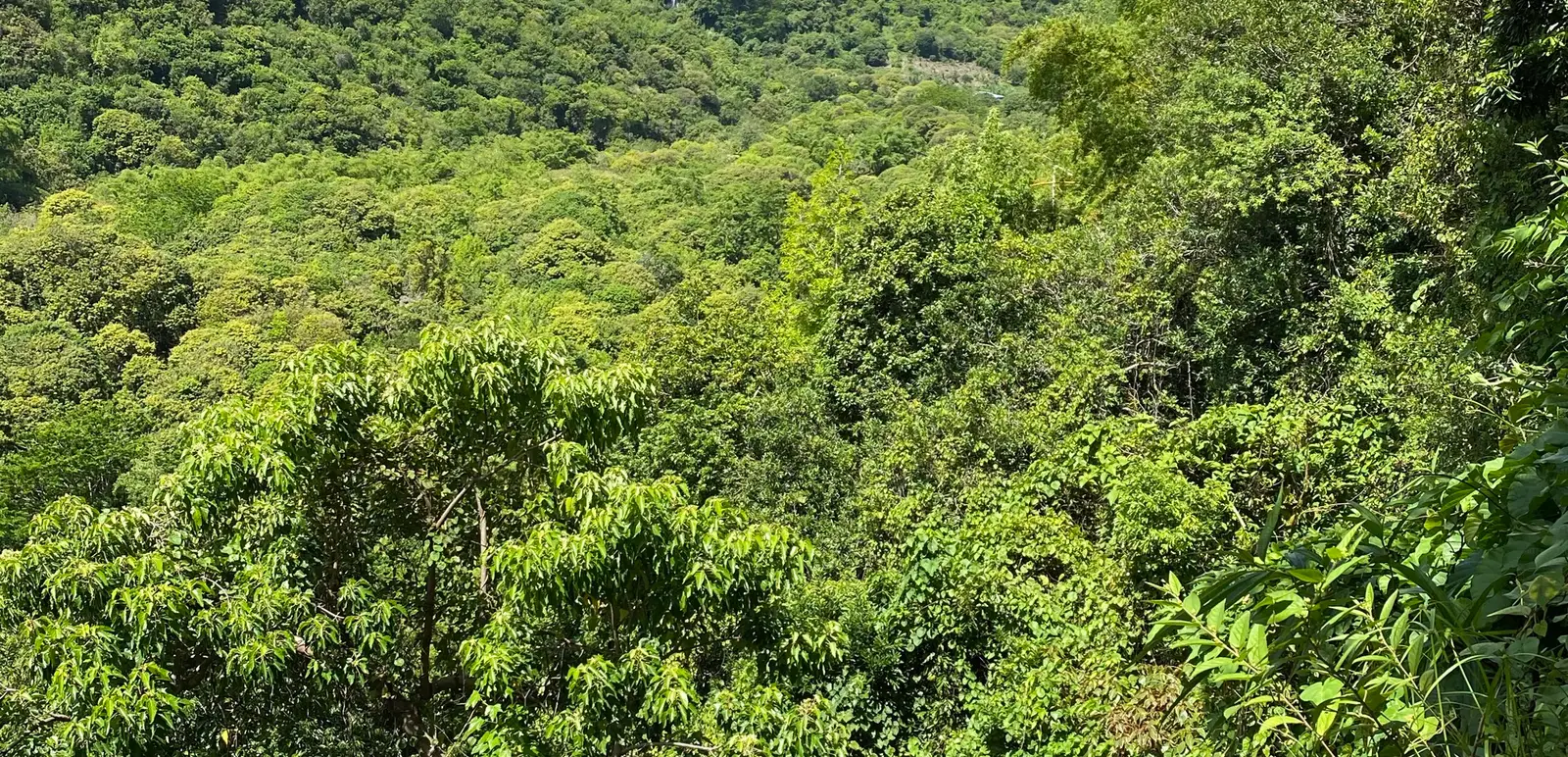
The hike is short compared with many mountain routes, but it should not be underestimated. Heat, steep sections and slippery ground can make the climb demanding.
Why hike Mount Choungui
The reward is immediate: a panoramic view that helps travellers understand Mayotte as a lagoon island. From the top, the reef, islets, bays and relief make more sense.
It is a perfect counterpoint to N Gouja beach and turtle snorkeling. One experience shows the sea from inside; the other shows the island from above.
How difficult is it?
The Mount Choungui hike is steep. Fit hikers may find it manageable, but casual walkers should still bring proper shoes, water and time.
Avoid climbing in the hottest part of the day. After rain, the path can become slippery.
Best time to go
Early morning is usually the best choice. The air is cooler, the light is softer and the climb feels less punishing.
Sunset may be tempting, but only choose it if you are sure about timing and descent. Darkness on a steep trail is not a good plan.
What to bring
Bring water, sun protection, shoes with grip and a small snack. Keep both hands free for steeper sections.
Do not treat the route as a casual flip-flop walk. The distance may be short, but the slope matters.
Combining with south Mayotte
Mount Choungui combines well with N Gouja, southern viewpoints and a slower lagoon day. Do not overload the route if you want time to swim responsibly or stop in villages.
The south of Mayotte is one of the best areas to connect land, lagoon and local rhythm.
Respecting the place
Stay on the trail, avoid leaving waste and do not disturb local residents near access points. A viewpoint is not only a photo platform; it is part of a lived island.
Mayotte receives less international attention than other Indian Ocean destinations, so useful, accurate advice matters.
What the viewpoint reveals
From Mount Choungui, Mayotte’s lagoon geography becomes clearer. The island no longer feels like separate beaches and roads. It becomes a reef-framed system of hills, villages, bays and protected water.
That makes the hike especially useful early in a trip. It helps travellers understand what they later see from N Gouja, boat routes or southern viewpoints.
Trail behaviour
Stay on the path, give way on steep sections and avoid creating new shortcuts. Shortcuts can worsen erosion, especially after rain.
If the trail is wet, turn around rather than forcing the summit. A viewpoint is not worth a fall on slippery ground.
Pairing land and lagoon
A strong Mayotte day can start with Mount Choungui and continue with a careful lagoon or beach stop. Keep the order sensible: climb before heat, then slow down near the water.
Mont Choungui or Mount Choungui
Travelers search both Mont Choungui and Mount Choungui. The place is the same: a steep volcanic landmark in southern Grande-Terre, Mayotte. Using both names helps English readers find the page while respecting the local name they may see on signs and maps.
The summit is often listed around 594 meters, but the number does not tell the whole story. The path climbs quickly, and tropical heat makes the effort feel sharper than the distance suggests.
View over the Mayotte lagoon
The reward is the view over one of the most distinctive lagoon systems in the Indian Ocean. From the top, the reef, passes, islets and blue water explain why Mayotte is not just another beach island.
This viewpoint also helps travellers understand N Gouja, boat excursions, southern bays and the shape of Grande-Terre. It turns the island from a list of stops into a readable geography.
Practical access and timing
Most visitors approach the hike while exploring southern Mayotte. Start early, especially if you are coming from Mamoudzou or another part of the island. Road time, heat and parking all matter.
Avoid the trail after heavy rain. Mud and steep sections can make the descent unpleasant. Good shoes are not optional, and hands-free movement is useful when the trail becomes sharper.
Pairing with N Gouja and the south
N Gouja is the obvious partner for Mount Choungui because it adds beach, turtles and lagoon atmosphere after the climb. The order matters: hike first, then slow down.
Do not turn the day into a race across every viewpoint in southern Mayotte. A stronger plan uses one climb, one careful lagoon stop and time to eat or pause locally. That rhythm makes Mayotte feel more real and less like a checklist.
Safety and local respect
The path starts near lived areas, not a theme-park entrance. Park respectfully, keep noise down, carry waste back and avoid cutting new lines into the vegetation.
Mayotte needs practical, respectful travel advice. A useful Mount Choungui guide should help visitors get the view without damaging the trail or treating the island as empty scenery.
Who should skip the summit
Travelers with vertigo, weak knees or poor footwear should be cautious. The descent can feel harder than the climb because steep ground demands concentration. If conditions are wet or the group is tired, a lower viewpoint or a southern coastal stop is a better decision.
Mayotte has enough lagoon, village and coastal interest that no single summit should dominate the trip.
Frequently asked questions
How hard is the Mount Choungui hike?
It is short but steep. Good shoes, water and an early start are recommended.
Where is Mount Choungui?
It is in southern Grande-Terre, Mayotte.
Can you combine it with N Gouja?
Yes. Mount Choungui and N Gouja work well together if you start early and keep the day realistic.
Sources / references
Methodology: every fact, figure and quotation is checked and sourced by the newsroom.

Author
Pascal Viroleau
Article produced under the newsroom charter: constructive journalism, cited sources and a stated level of verification.